TRAIL MAP

High Difficulty

Distance

Elevation gain

Duration

How to get there

![]()
![]()
![]()
SERVICES
Cretón lagoon – No services
Ilón campground (dome)
Open all year round.
Reservations are mandatory for camping and overnight stays in domes.
www.refugioilon.com.ar
- Recommended to go with a Mountain Guide
- Very strenuous trail, only for very experienced hikers.
- There are often sections with snow or ice which mainly in the mornings can make the hike more complicated.
- Fires are not allowed.
![]()
![]()
![]()
DESCRIPTION
The trail heads up along some slabs and soon is on the ridge looking down on the left at the Blue Lagoon (Calvú). This is the biggest of all the lakes along this traverse.
Soon after there are another 2 small tarns or lagoons which you see on your left, first Chubut and next to it Jujuy, here the trail climbs pretty steep again on loose rocks up to the ridge of the Capitan peak. This is the highest point on the traverse, 1.950 m.a.s.l. with great views of Tronador peak and the surrounding glaciers. The main summit of Capitan peak is North along the ridge.
The trail descends on loose rocky terrain, then enters a low dwarf lengas (tall deciduous beech) forest, look for markings. Once at the valley floor, the trail goes along some grasslands and marshlands called Mallín de Ricardo. It contours round more marshy openings and then down into a lenga forest and on to the Ilón lagoon.
The camping area or Dome (with services) is at the far end of the lagoon, the trail contours around on the east side of it, passed an old campground, crosses a small creek and along the beach for 100 mts.
Mirada del Doctor lookout, an excellent viewpoint, 4 km from here, the trail goes around the lake on the left, down a little in the lenga forest, through a couple of marshy clearings and on to an outstanding rock and big cliff.
From Ilón lagoon you can head down to Pampa Linda or connect with Agostino Rocca Hut via the “La Marca” pass.
In the event of bad weather, it is best to connect towards Los Césares. This section has a high difficulty level, very strenuous on a pretty steep loose rocky trail and very exposed to the sun. It is very important to pay attention to cairns and markings to stay on trail.
To improve the trekking experience, it is recommended to contact a Mountain Guide authorized by the AAGM (Argentine Association of Mountain Guides)
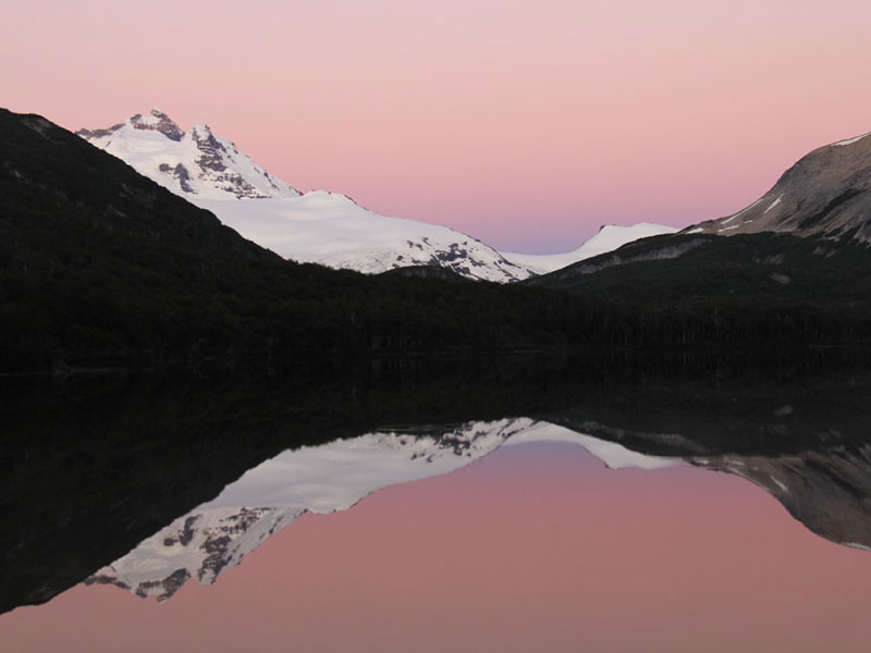
PHOTO GALLERY