TRAIL MAP

High Difficulty

Distance

Elevation gain

Duration

How to get there

![]()
SERVICES
No services
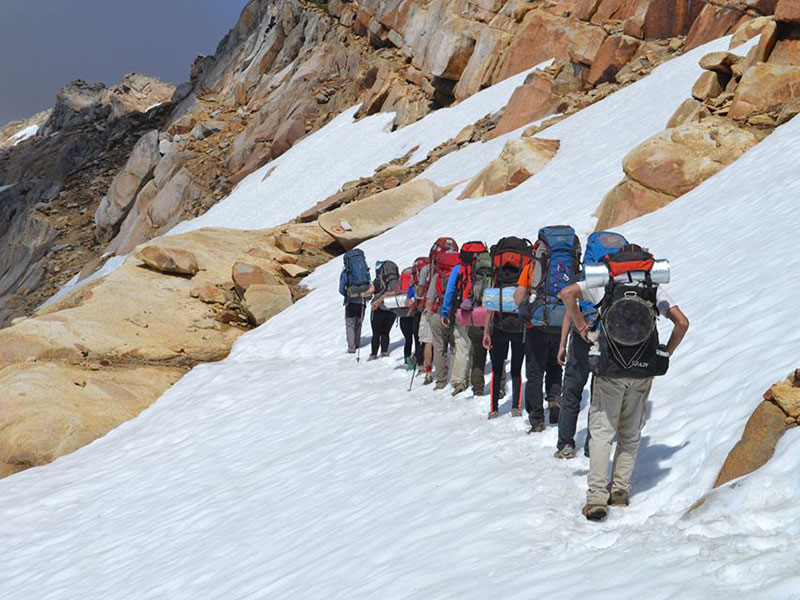
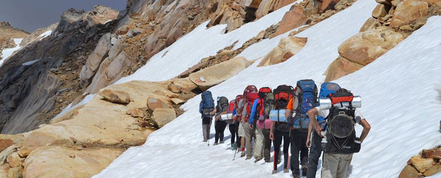
- Recommended to go with a Mountain Guide
- Very strenuous trail, only for very experienced hikers.
- There are often sections with snow or ice which mainly in the mornings can make the hike more complicated.
- Fires are not allowed.
![]()
![]()
DESCRIPTION
The trail heads up next to the campground at CAB lagoon. Pretty steep and the terrain is on loose slate and scree. You reach the ridge on the South side of the summit. There are red markings and cairns though it’s not very well marked. From the ridge head down a series of slabs and more loose scree to the marshy area called “Mallín del Mate Dulce”.
This marshland is part of the continental divide or watershed. The Uhueco creek heads East into the Nahuel Huapi basin going to the Atlantic and the Claro creek, heads west into the Mascardi basin going to the Pacific.
The trail continues west towards the “Filo de los Cristales”, it meanders along the clearings and then climbs again up the steep rocky terrain. Once on the ridge, South from the highest point you can view the Cretón lagoon. It is best to follow along the ridge before heading down. Very careful as the terrain has very loose and big rocks and is very steep. This is the hardest section of the traverse.
The camping area is next to Ilon lagoon.
The next leg of the traverse connects to Ilon lagoon.
In the event of bad weather, instead of continuing on to Ilón lagoon it is best to connect towards Los Césares. This section has a high difficulty level, very strenuous on a pretty steep loose rocky trail and very exposed to the sun. It is very important to pay attention to cairns and markings to stay on trail.
To improve the trekking experience, it is recommended to contact a Mountain Guide authorized by the AAGM (Argentine Association of Mountain Guides)
PHOTO GALLERY