TRAIL MAP

Moderate Difficulty

Distance
5 km. (from Colonia Suiza to the Tambo de Báez)
7 km. ( return trip from Tambo de Báez to the first ridge on Bella Vista peak)
9 km. (return trip from Tambo de Báez to the summit 1.785 m.a.s.l.)

Elevation gain

Duration
(return trip from Tambo de Báez to the summit)

How to get there

![]()
![]()
HOW TO GET THERE
From downtown Bariloche:
Bus: Line 20. Get off at Puerto Moreno, km 10.5 of Av. Bustillo. From here take the gravel road that heads off West (Old road to Catedral ski resort). After 1.5 km. there is a right turn off and continue walking 4 km. to the Tambo de Báez.
Bus: Line 10. Get off in Colonia Suiza. From there walk along the gravel road towards the Casa de Piedra creek, roughly 5 km.
SUBE card needed to pay bus fare. Check timetable.
By car: Same description as on bus line 20.
![]()
SERVICES
Tambo de Báez – Parking área.
/tambo-baez/
- Take plenty water as there are no streams to load up.
- High solar exposure above the tree line, take a cap, sunglasses and sunscreen.
- Steep trail and loose rocky terrain. Take good hiking shoes.
- Long hike, calculate the daylight hours.
![]()
![]()
DESCRIPTION
The entrance to the Tambo de Báez is well marked on the Provincial Route 79, a gravel road that connects Casa de Piedra creek with Colonia Suiza.
300 mts. in from the road, after crossing a gate there is a parking area.
The first 400 mts. are shared with the trail that goes to San Martin Hut at the Jakob lagoon. There is a sign indicating a detour right towards Bella Vista peak.
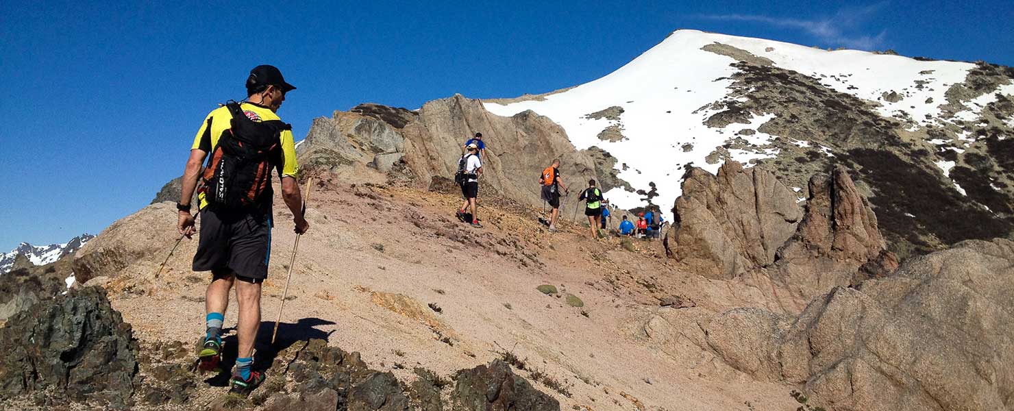
The trail is well marked though pretty steep. There are no water sources along the way, so take plenty of water.
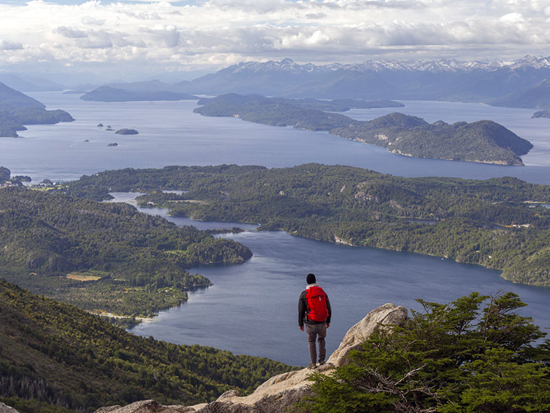
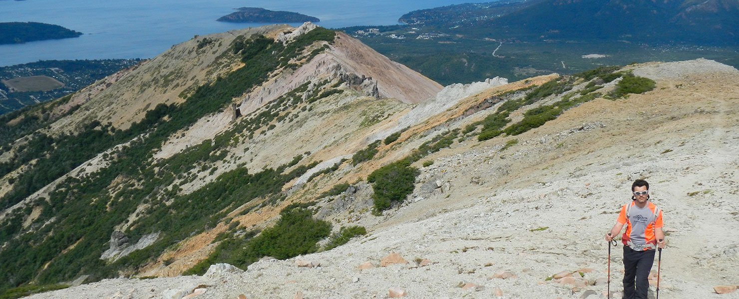
Once you reach the tree line, roughly 1.600 m.a.s.l. the trail goes up a loose scree area to the first ridge with great views. Continue along the ridge for another km you reach the summit with fantastic panoramic views and of Tronador peak in the distance.
Take the same trail back down.
To improve the trekking experience, it is recommended to contact a Mountain Guide authorized by the AAGM (Argentine Association of Mountain Guides)
PHOTO GALLERY