TRAIL MAP

Low Difficulty

Distance

Elevation gain

Duration
(return trip)

How to get there
HOW TO GET THERE
From downtown Bariloche:
Bus: Line 20. Get off at Campanario stop, km 17.5 of Av. Bustillo.
SUBE card needed to pay bus fare. Check timetable.
By car: Take Av. Bustillo along to km 17.5 There is a chairlift and free parking area.
SERVICES
–
- Trail with some steep sections, take good hiking shoes.
DESCRIPTION
The trailhead is just right of the entrance to the chairlift. Though the trail is pretty short, the terrain is irregular and pretty steep. Roughly 45 minutes hiking and you arrive at the summit at 1.050 m.a.s.l.
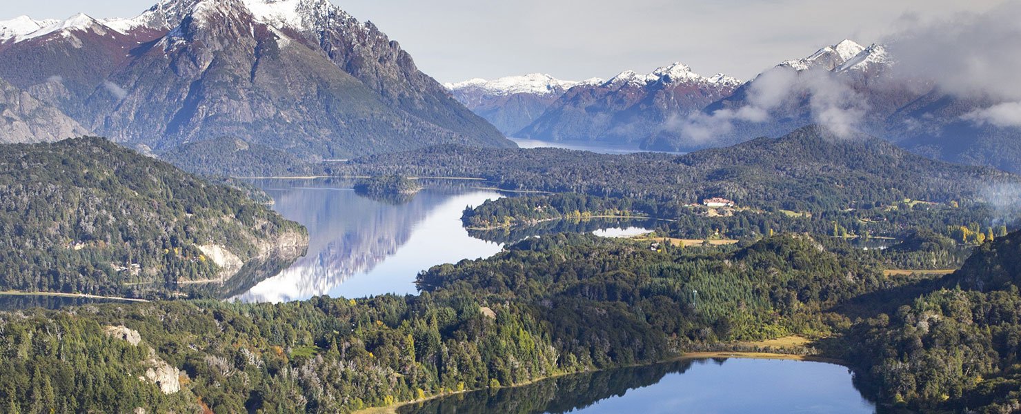
On the summit there is a cafeteria, toilettes and different lookouts to view the Nahuel Huapi and Moreno lakes, El Trébol lagoon, the San Pedro peninsula, Victoria Island and the Otto, López, Goye, Bella Vista, Catedral, Capilla peaks and the Llao Llao Hotel as well as poplar tree rows at Colonia Suiza.
Take the same trail back down.
To improve the trekking experience, it is recommended to contact a Mountain Guide authorized by the AAGM (Argentine Association of Mountain Guides)
TREKKING REGISTRATON IS NOT REQUIRED


