TRAIL MAP

Low Difficulty

Distance
1 km (from Pañuelo Port to the trail start)

Elevation gain

Duration
(return trip from Information Center at Llao Llao)

How to get there
HOW TO GET THERE
From downtown Bariloche:
Bus: Line 20. Get off at Puerto Pañuelo (Llao Llao) at km 25 of Av. Bustillo. From here continue walking along the paved road of Circuito Chico to the Llao Llao Information Center and parking lot at the trail entrance.
SUBE card needed to pay bus fare. Check timetable.
By car: Along the “ Circuito Chico” loop road, 1 km. after Puerto Pañuelo (km 25 of Av. Bustillo), on the left is the Information Center and parking lot (free). You can also leave the car at the paid parking at Puerto Pañuelo and walk from there.
- Respect the instructions of the municipal authorities (Park ranger).
- Entry hours in summer: between 8 hs. and 22 hs.
- Check the status of the trails and the weather. On windy days the park remains closed.
- Walk only on marked trails.
- Overnight stay is not permitted.
- Before entering, you must REGISTER at the Llao Llao Municipal Park and PAY AN ADMISSION. It can be done here. There is also a QR at the entrance to the Municipal Park. It is paid through the website (credit or debit card, or in cash through Rapipago or Pago Fácil). For Bariloche residents, retirees and children under 12 years of age the admission is free.
- Bicycles and pets are prohibited on all trails of the Llao Llao Municipal Park.
- Smoking and fires are prohibited.
- Pay attention when walking along the paved route due to the traffic of vehicles and bicycles.
- Do not leave valuables objects or documentation in the car when parking.
- Bring back all trash.
- In some places inside the Llao Llao Municipal Park there is no cell phone signal.
DESCRIPTION
The East entrance is next to the Information Center Llao Llao on the Circuito Chico road, 1 km. after Puerto Pañuelo and entrance to Llao Llao Hotel.
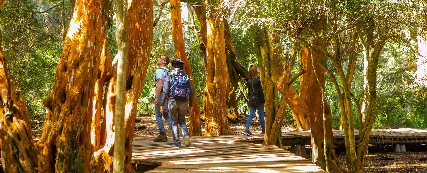
After 10 minutes of easy walking you reach a forest of mainly Arrayanes. Continue along and reach the Moreno Lake shore with views of Lopez and Goye peaks and the Conejos (rabbits) island.
After roughly an hour of hiking the trail you reach the paved road again. From here another 100 mts. on the left is the Municipal Park Rangers home.
To get back to the starting point you can walk along the paved road or take the same trail back.
This is a walking trail, bikes are not allowed. Take all your trash with you.
To improve the trekking experience, it is recommended to contact a Mountain Guide authorized by the AAGM (Argentine Association of Mountain Guides)


